Discovering the Abandoned Mississippi River Basin Model in Jackson, Mississippi
Urban explorers with a taste for offbeat history will find the Mississippi River Basin Model in Jackson, Mississippi to be a unique remnant of the past. This vast structure once served as a working representation of one of North America’s greatest river systems, providing researchers with an unparalleled look at river flow and flood patterns. Now standing abandoned, it invites curious visitors to envision its former grandeur and imagine the intense efforts that once took place there.
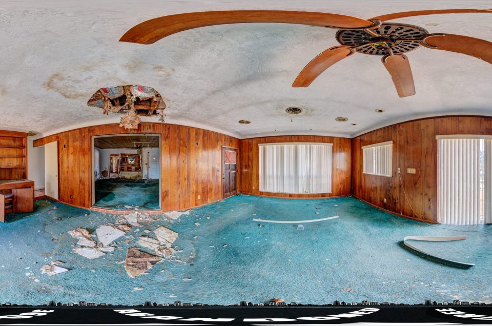
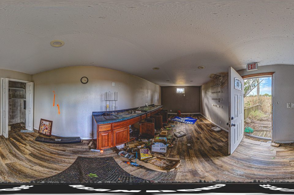
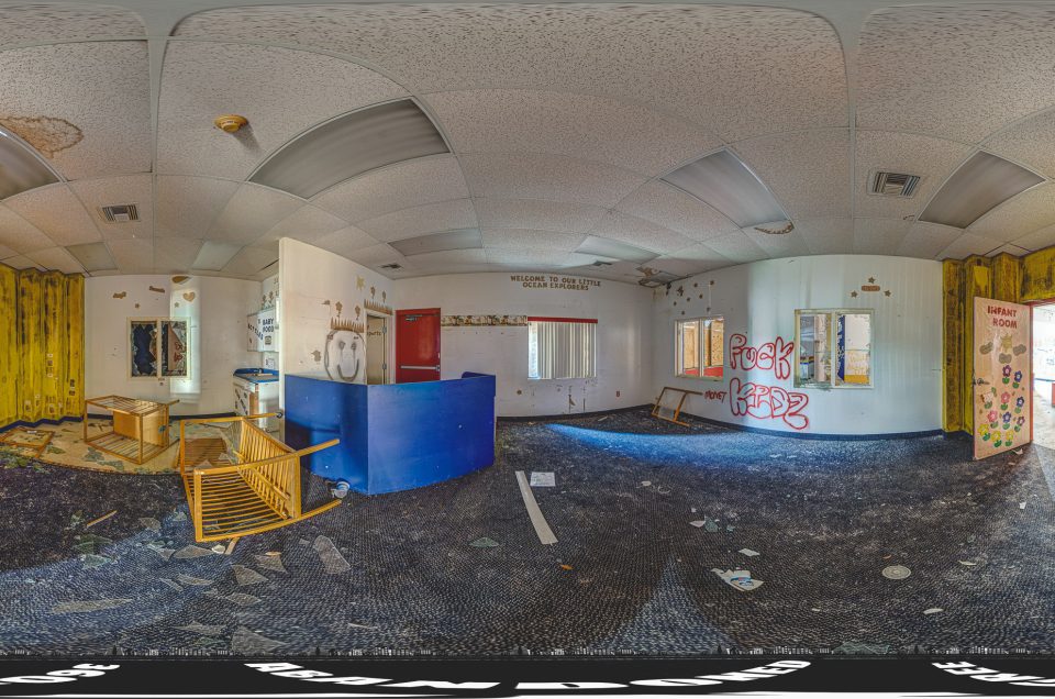
Thanks to the 360-degree panoramic images available on Google Maps Street View, you can virtually stroll through this fascinating site without leaving the comfort of your home. Take in the sheer scale of the model’s sprawling concrete channels, discover overgrown areas where nature is reclaiming its territory, and peek into areas that once buzzed with scientific inquiry—all from your screen.
Image by: P. J. Murray
Unearthing History: The Mississippi River Basin Model
Deep in Jackson, Mississippi lies a forgotten engineering wonder that once stood as a symbol of human ingenuity: the Mississippi River Basin Model. For urban explorers, it offers a unique glimpse into the past, combining history, innovation, and the haunting beauty of abandonment. But what exactly is the Mississippi River Basin Model, and why has it become an abandoned relic of the 20th century?
This article dives into the fascinating history of this monumental project, its operational years, its eventual abandonment, and why it’s a must-visit for those passionate about urban exploring in Mississippi.
The Vision Behind the Model
The Mississippi River Basin Model was no ordinary construction project. Built in 1943 during World War II, the model was part of a larger effort to address flooding and manage water flow in one of the most important river systems in the United States. Spanning 200 acres, this scaled-down representation of the Mississippi River and its tributaries was engineered to simulate the hydrodynamics of the river system, offering unprecedented insights into water management.
The construction of the model was spearheaded by the U.S. Army Corps of Engineers and was located within what is now Buddy Butts Park in Jackson, Mississippi. The project required a massive workforce, including German and Italian prisoners of war, who were instrumental in its completion. At a scale of 1:100 vertical and 1:2000 horizontal, the model accurately recreated over 15,000 miles of river systems, stretching from the Gulf of Mexico all the way to the Ohio River and beyond.
From Operational Glory to Obsolescence
For decades, the Mississippi River Basin Model was a cornerstone of flood prevention and river management in the U.S. Scientists and engineers used it to simulate various scenarios, predict the impact of proposed dam projects, and improve flood control strategies. Its groundbreaking contributions helped mitigate the disastrous flooding that plagued communities along the river.
However, as technology advanced, the need for large-scale physical models diminished. By the 1970s, computer modeling began to outperform physical simulations in both speed and accuracy. The Mississippi River Basin Model fell into disuse, officially ceasing operations in 1973. After 30 years of service, the model was abandoned, left to weather the elements in silence.
Why Was the Model Abandoned?
The model’s abandonment was primarily driven by technological progress. As computer models grew more sophisticated, they rendered physical models like the Mississippi River Basin Model obsolete. The maintenance costs of the site, combined with a dwindling budget, further sealed its fate.
Once decommissioned, the land was transferred to the city of Jackson. Efforts to repurpose the model or preserve it as a historical landmark were minimal, leaving the site to deteriorate. What remains today is a mix of overgrown concrete channels, crumbling infrastructure, and the eerie remnants of an era when manual engineering reigned supreme.
Exploring the Abandoned Mississippi River Basin Model
For those passionate about urban exploring in Mississippi, the Mississippi River Basin Model offers a unique experience. Over the years, nature has reclaimed much of the site, adding to its haunting beauty. Trees grow through cracks in the concrete, moss blankets the structures, and wildlife roams freely where engineers once worked tirelessly.
Although the site is technically within a public park, much of it is in a state of disrepair, and sections may be unsafe to explore. Visitors should exercise caution and respect the fragile state of this historical site. Remember, urban exploration is as much about preserving history as it is about discovering it.
Historical Significance
The Mississippi River Basin Model isn’t just a relic of engineering history—it’s a testament to the human capacity for problem-solving and innovation. In its heyday, it was one of the largest and most intricate models ever constructed, demonstrating how large-scale simulations could inform real-world decision-making.
Additionally, the site’s construction during World War II adds another layer of historical intrigue. The use of prisoners of war to build the model highlights the wartime resourcefulness and the complex interplay of global events shaping local landscapes.
Tips for Visiting
If you’re planning to explore the abandoned Mississippi River Basin Model, here are a few tips to ensure a safe and enriching visit:
- Research the Site: Familiarize yourself with the layout and history of the site before you go.
- Wear Appropriate Gear: Durable footwear, gloves, and clothing are essential for navigating uneven terrain.
- Bring a Camera: The juxtaposition of nature and man-made structures makes for stunning photography.
- Respect the Site: Avoid damaging the site further by refraining from climbing on unstable structures or leaving litter behind.
- Check Local Regulations: While the site is part of a public park, certain areas may be off-limits or hazardous.
The Future of the Mississippi River Basin Model
Efforts to preserve the Mississippi River Basin Model have been sporadic. Local historians and preservationists have expressed interest in saving the site, but funding and logistical challenges remain significant barriers. Advocates argue that the model could serve as an educational resource or even a tourist attraction, shedding light on the innovative methods of flood control and water management.
For now, it remains a hidden gem for urban explorers and history enthusiasts alike, offering a rare glimpse into a bygone era of American engineering.
Why Urban Explorers Love It
What makes the Mississippi River Basin Model so alluring for urban explorers in Mississippi is its raw authenticity. Unlike more polished historical sites, this abandoned model retains its original charm, free from excessive restoration or commercialization. It’s a place where time stands still, allowing visitors to connect with the past in a way that feels personal and unfiltered.
Final Thoughts
The Mississippi River Basin Model in Jackson, Mississippi, is a treasure trove of history waiting to be rediscovered. Whether you’re an urban explorer, a history buff, or simply curious about abandoned sites in Mississippi, this engineering marvel is well worth the visit. Its story is one of innovation, decline, and resilience—a powerful reminder of the impermanence of human creations and the enduring beauty of the natural world.
For urban explorers, the Mississippi River Basin Model is more than just a destination; it’s an experience that lingers long after you’ve left. So pack your gear, respect the site, and immerse yourself in one of the most fascinating chapters of Mississippi’s history.
By capturing the spirit of this abandoned marvel, we keep its memory alive, ensuring that future generations can appreciate the ingenuity and effort behind its creation. Whether preserved or left to decay, the Mississippi River Basin Model will always stand as a testament to human ambition and the ever-changing tides of progress.
If you liked this blog post, you might want to read about the Knyajevski Lift in Bulgaria, the Pennhurst State School and Hospital in Pennsylvania, or the Johnson’s Live Bait in Florida.

A 360-degree panoramic photograph capturing the abandoned Mississippi River Basin Model in Jackson, Mississippi. Image by: P. J. Murray
Welcome to a world of exploration and intrigue at Abandoned in 360, where adventure awaits with our exclusive membership options. Dive into the mysteries of forgotten places with our Gold Membership, offering access to GPS coordinates to thousands of abandoned locations worldwide. For those seeking a deeper immersion, our Platinum Membership goes beyond the map, providing members with exclusive photos and captivating 3D virtual walkthroughs of these remarkable sites. Discover hidden histories and untold stories as we continually expand our map with new locations each month. Embark on your journey today and uncover the secrets of the past like never before. Join us and start exploring with Abandoned in 360.
Do you have 360-degree panoramic images captured in an abandoned location? Send your images to Abandonedin360@gmail.com. If you choose to go out and do some urban exploring in your town, here are some safety tips before you head out on your Urbex adventure. If you want to start shooting 360-degree panoramic images, you might want to look onto one-click 360-degree action cameras.
Click on a state below and explore the top abandoned places for urban exploring in that state.
You might also like